Faculty
Artist Statement
What does this Nebraska landscape mean? What does it have to share with us?
To aid my understanding of this place I have been read journals and accounts of travel along the trails that crossed this territory from explorers and pioneers, learning about the culture and characteristics of this land. What has most struck me about this place is the relationship between the land our culture’s attitude towards this land: as our attitudes have changed about this environment, it has physically changed the environment. As I have read these accounts I find it amazing as to how many people referred to this land as desolate and uninhabitable. A famous quotes from Lt. Long of the Topographical Engineers who, as he passed through Nebraska in 1820, referred to this land as “The Great American Desert.” However, a few pioneers saw potential in this environment, and it is truly amazing to witness the power the minority perspective can have to transform not only land, but also thought. What I have found these open spaces offer is a chance to witness the relationship between history and our contemporary culture and create images that ask questions such as: How does our past affect us today? And, at what cost do we alter our environment? So I set off exploring the Great Platte River Road, that stretch of the West where the Oregon Trail, California Trail, and Mormon Trail confluence, roughly from Fort Kearny in Nebraska to Fort Laramie in Wyoming. I share with you now those scenes where icons of the past interact with our contemporary landscape.
 Derrick Burbul
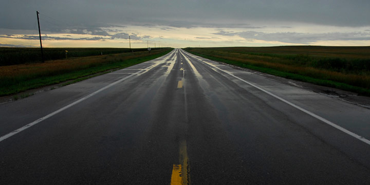
Highway 26 near Ogallala, NE, 8.6.2007
C-print
2007
(click image for full view)


